
The main mediums are video as I ride my motorcycle and show you the scenic beauty of Washington State (and maybe some others .) but also photos and route maps as well so members can find inspiration and explore new areas.
And because this is a community, I want members to share your favorite topics and photos with me and others as well.
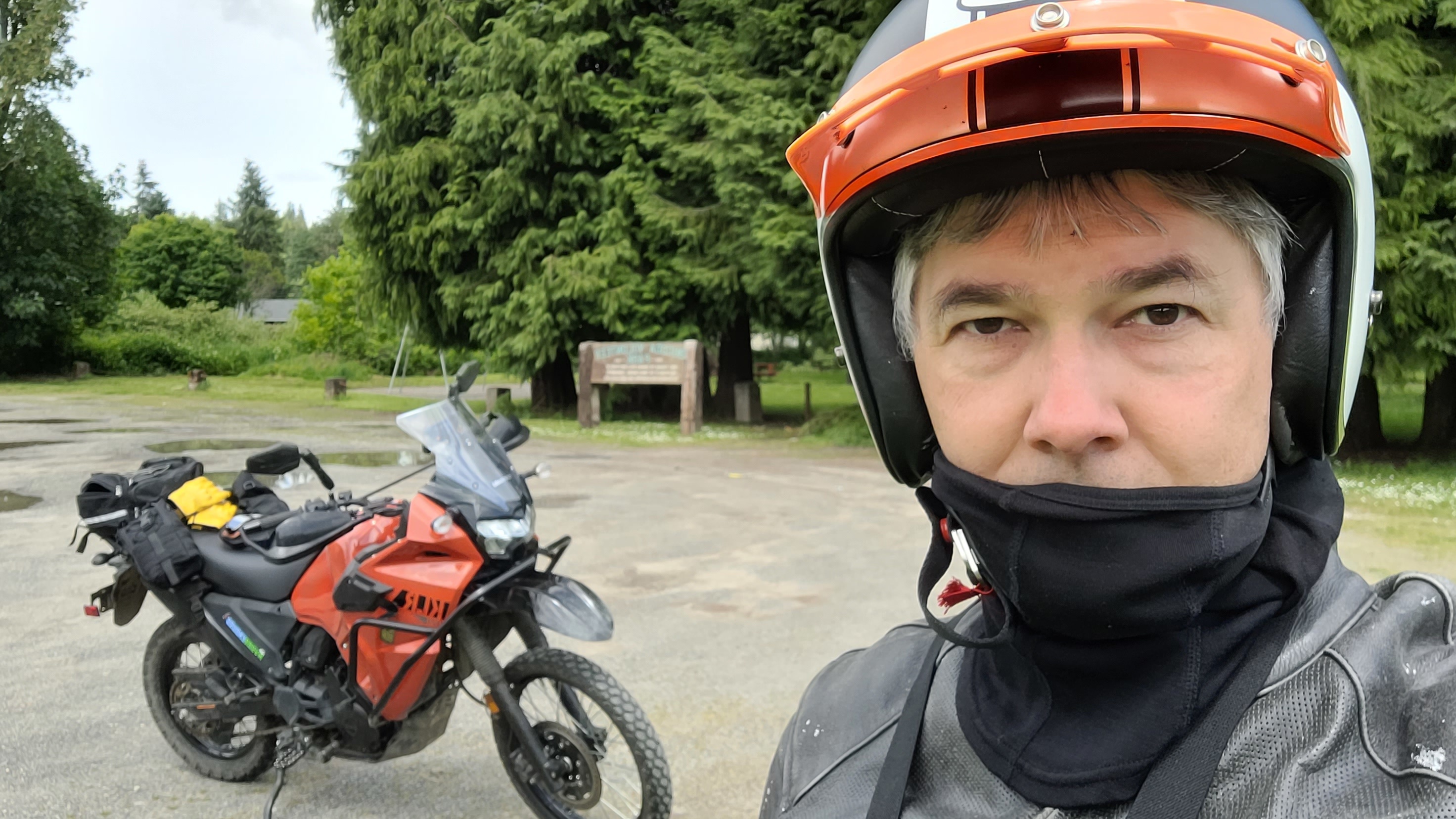
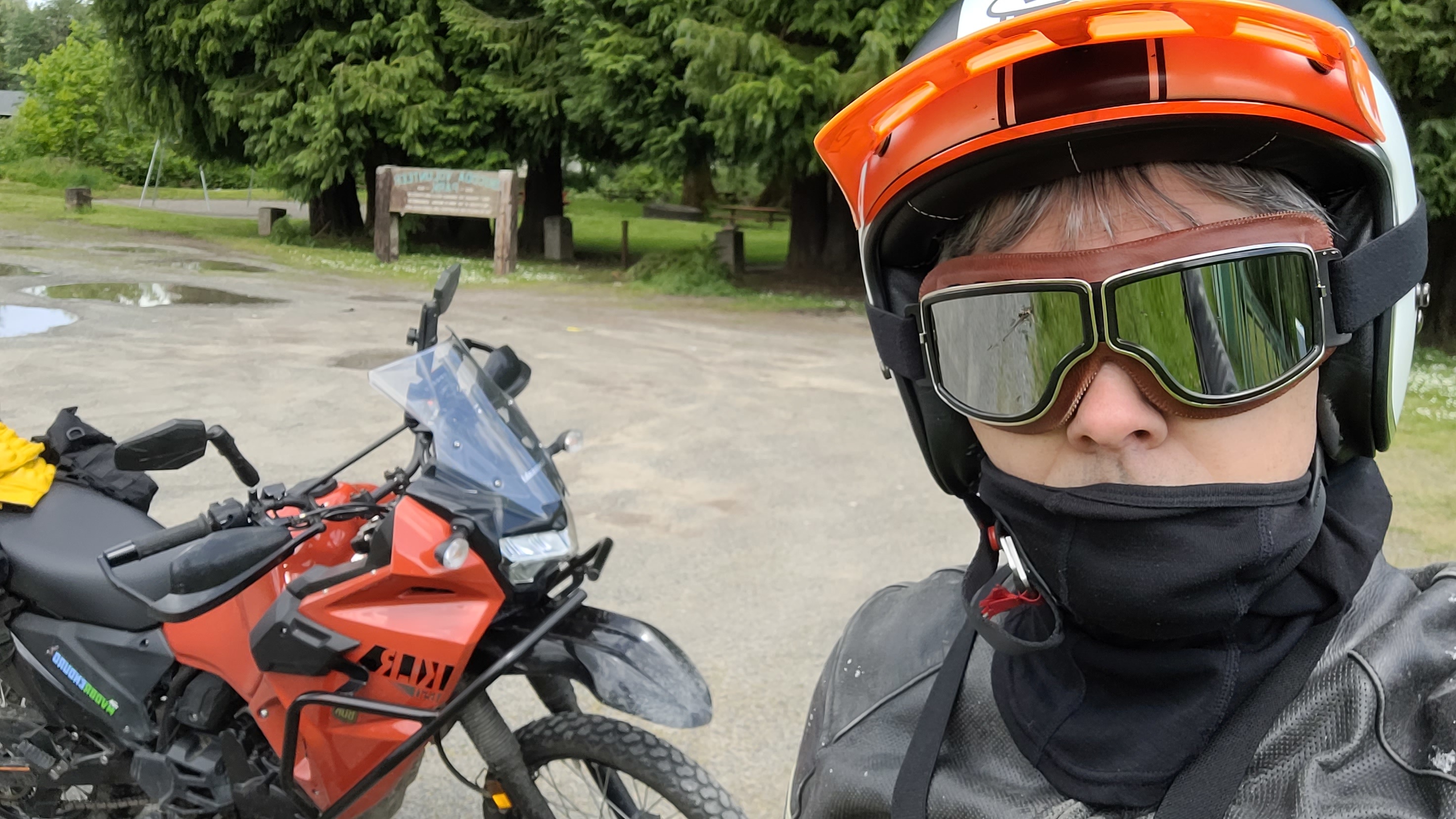
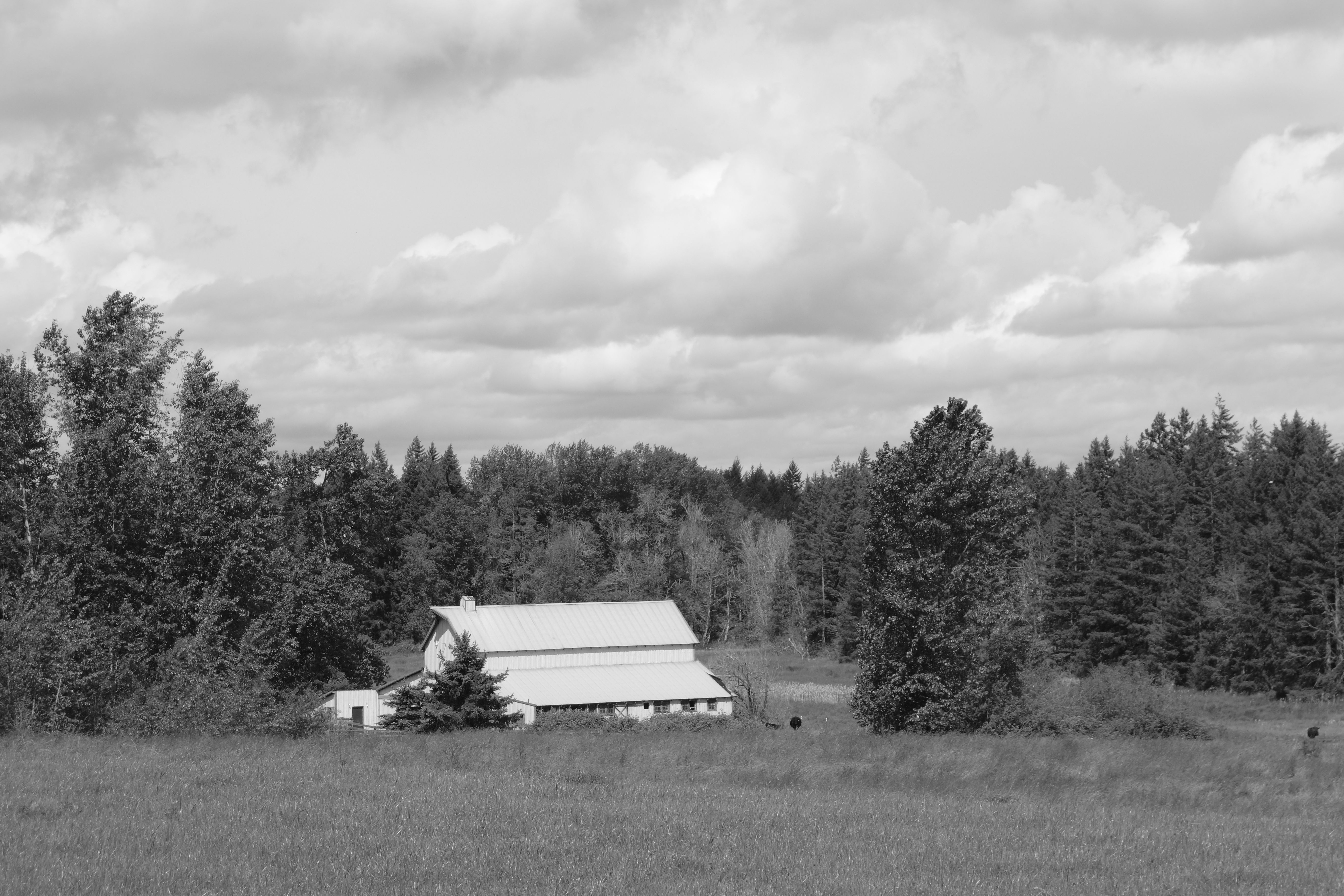
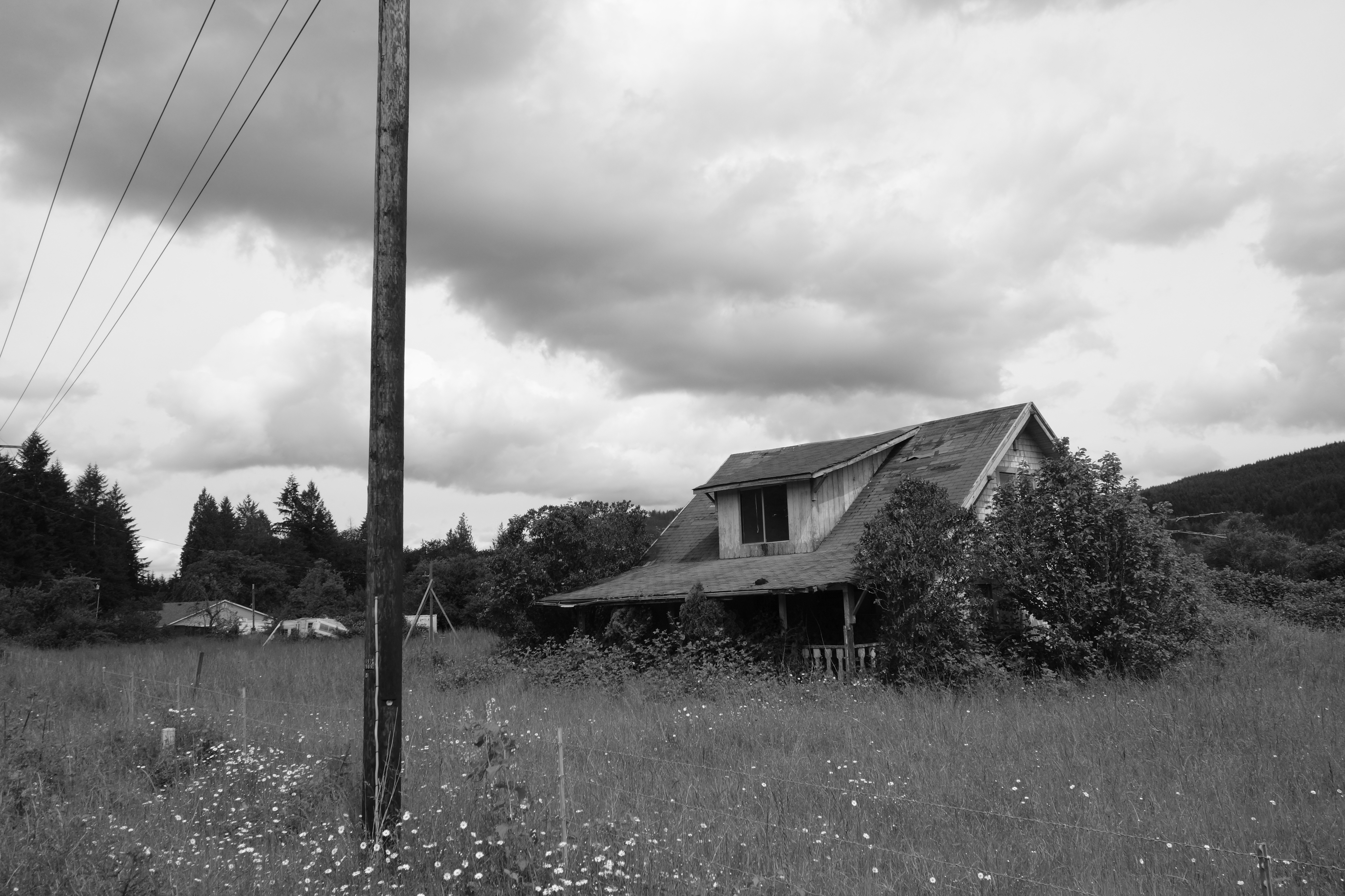
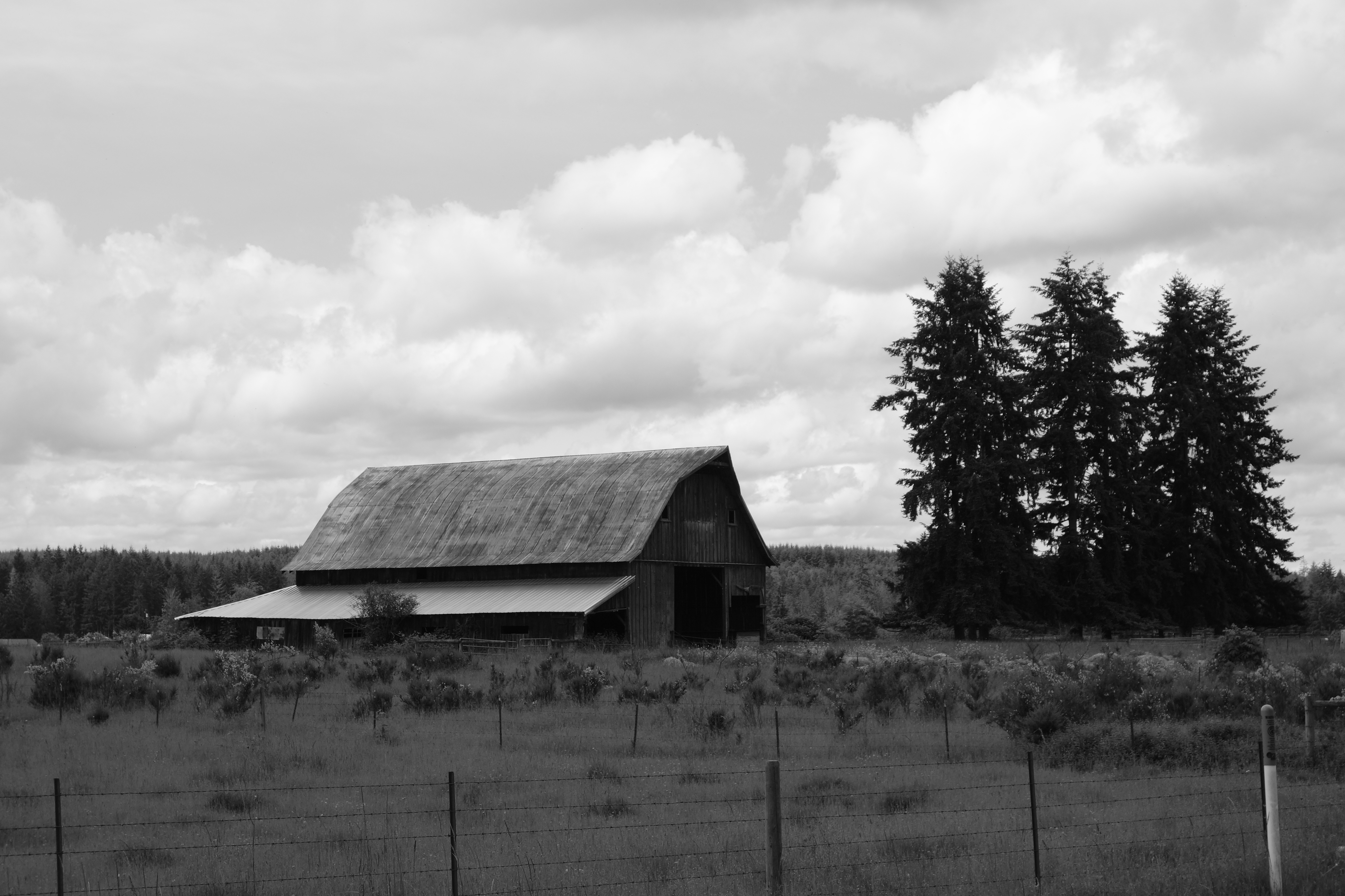
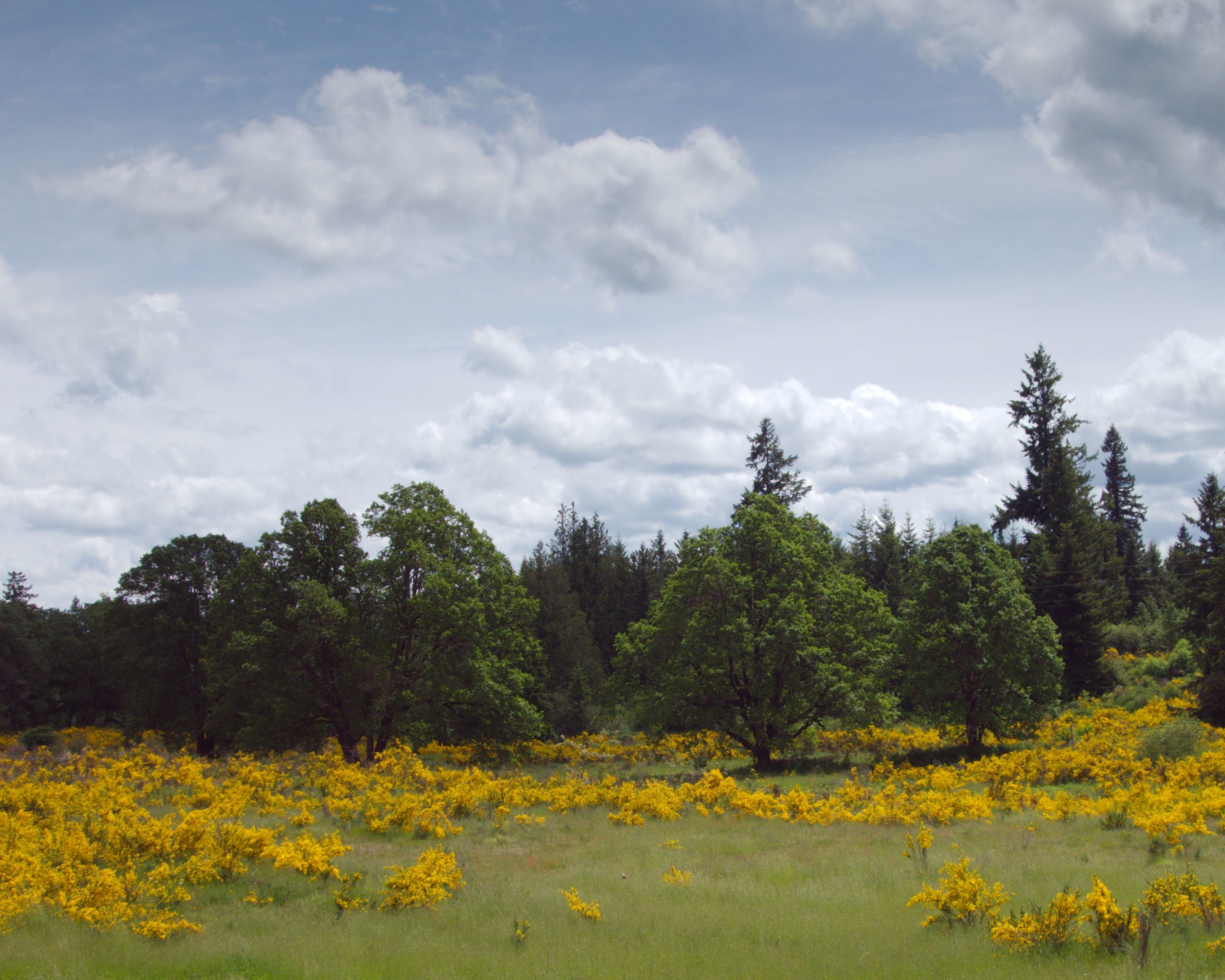
Got out for a road ride today. Down through Roy, around Yelm and through some back roads to Bucoda. Stopped and took some photos along the way.
No video from the ride. I was hoping to, but because I was wearing my open face helmet I was trying my chest rig. From this test it's clear the FOV of my camera is not wide enough to be a good solution.
Maybe it's a good thing that when I ride with my 3/4 helmet I leave my video production equipment behind. Probably some Me Time or Just the ride time wisdom in there 😀
Anyway, the plan is to get my tires swapped the next couple of days to my Shinko 244's and possibly hit the dirt on Sunday.
In this video I go through my mods (updated from the older vid) and also show the bag setup.
MIRRORS: Doubletake
https://www.doubletakemirror.com/
CRASH BARS: DirtRacks
https://www.dirtracks.com/collections/klr650
BASH PLATE: Enduro Engineering
https://www.amazon.com/gp/product/B07GL6YPRZ/ref=ppx_yo_dt_b_search_asin_title?ie=UTF8&psc=1
BASH PLATE EXTENDER: Enduro Engineering
https://www.amazon.com/gp/product/B07HF4K3ZP/ref=ppx_yo_dt_b_search_asin_title?ie=UTF8&psc=1
PHONE HOLDER:
https://www.amazon.com/gp/product/B085DMV7XD/ref=ppx_yo_dt_b_search_asin_title?ie=UTF8&psc=1
TRUNK: Chase Harper
...
I get asked regularly how I plan my routes and which apps I use.
PLANNING
I research using Google Maps and the USDA Forest Road Website (https://www.fs.usda.gov/ivm/)
Once I feel like I have a plan, I create my routes using (MyMaps.Google.com) which allows adding points and connecting them.
I then export the created map as KML
APPS
I mainly use Maps.Me as it supports importing the KML created. Be aware the actual map it uses is often slightly different from what Google has.
I also use the USDA Forest Map app as a backup. It's a good way to know how long and how rough forest roads are , but ALSO if it's open all winter of not (Snow notwithstanding) I've had a couple rides that Google allowed me to map, but turned out to be Closed (no longer used/accessible) so I'm starting to reference the forest app and website more to double check.
The third App is Avenza. For me it's only used with Geo Referenced PDFs. The main one for me is the Capital Forest.