
The main mediums are video as I ride my motorcycle and show you the scenic beauty of Washington State (and maybe some others .) but also photos and route maps as well so members can find inspiration and explore new areas.
And because this is a community, I want members to share your favorite topics and photos with me and others as well.
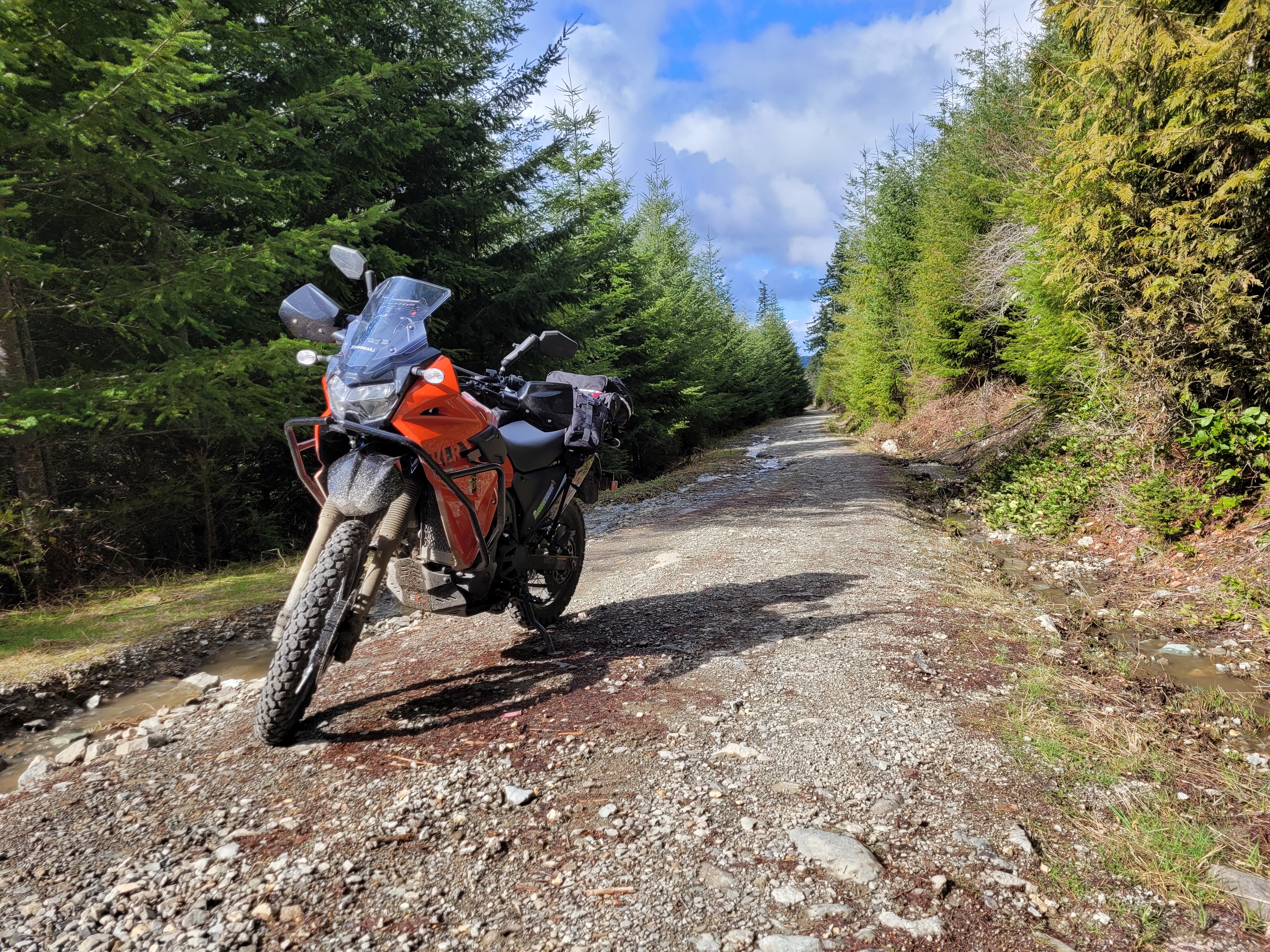
I headed up through Wilkeson and Carbonado today. The plan was to hit a couple winding roads on the way up there and see if there were any dirt/gravel roads open that might be fun.
I took two new offshoots from Orville road that I never tried before and was fun little roads. One was small and twisty, the other more relax farmland. I cannot believe I've never tried these before.
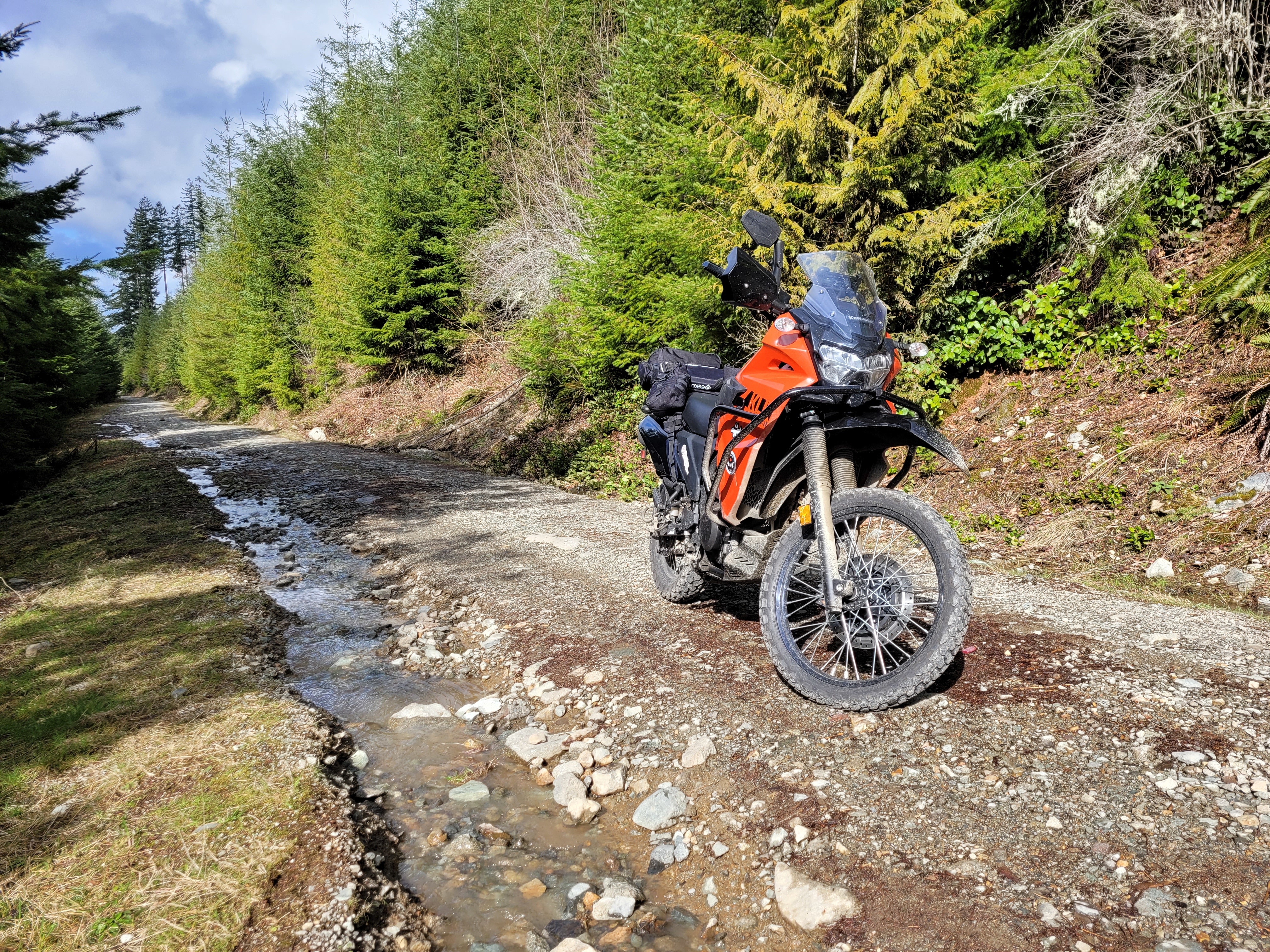
Regarding the dirt, I assumed the road at Wilkeson would be closed but to my surprise it was not, AND it was a ton more fun than I expected switching from gravel to embedded rock some ruts and potholes.
Eventually it got a little too intense as the road became a bit of a rutted river.
Time for a quick break and turn around.
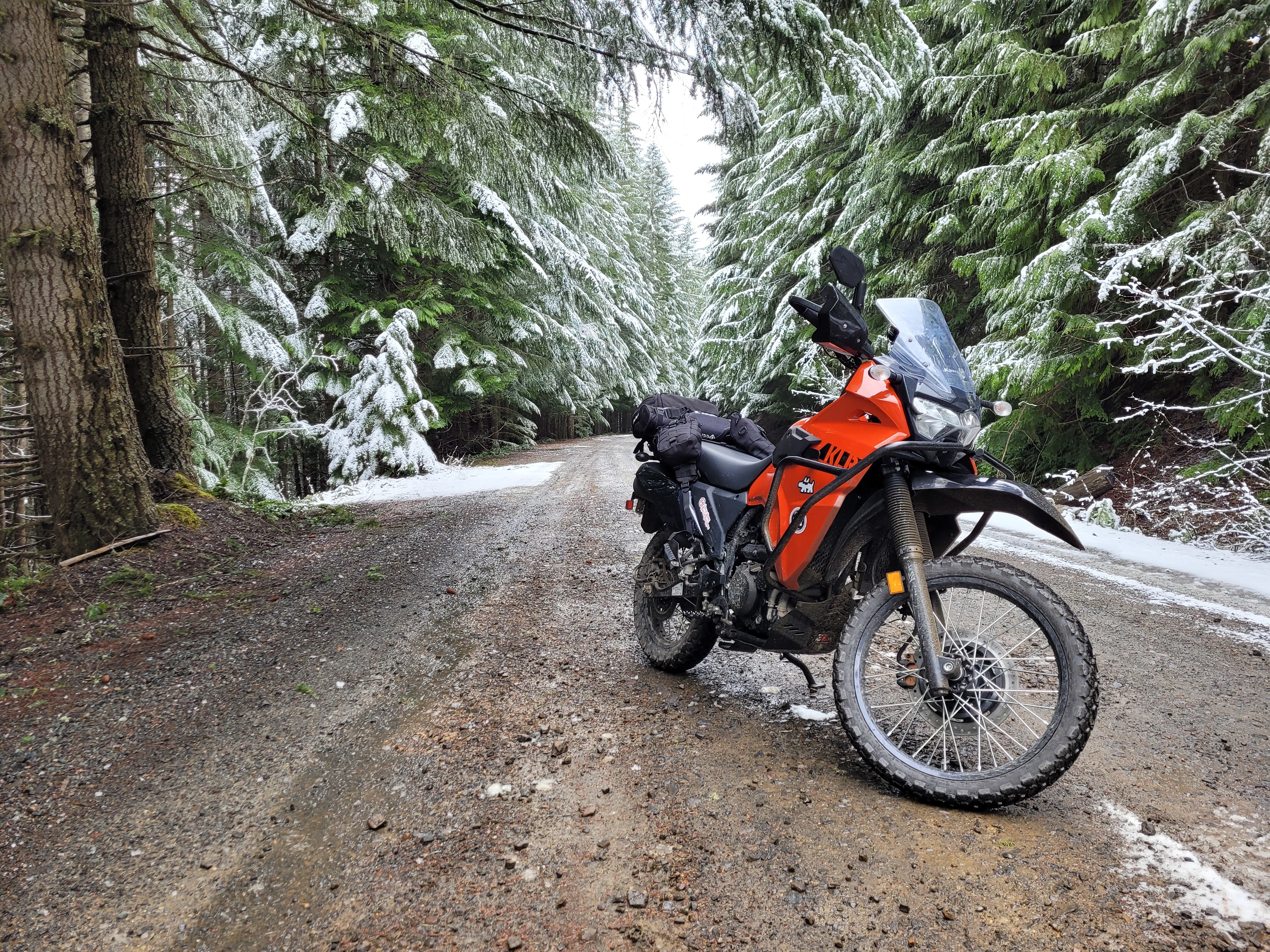
After that I continued down to Hwy 165 which says closed in 11 miles. It promises good views of Rainier if it wasn't cloudy but I was there for the road so that's ok.
Going quickly from pavement to dirt I had a blast playing pot hole roulette as I tried to keep my speed up but not clobber ...
In this video I go through my mods (updated from the older vid) and also show the bag setup.
MIRRORS: Doubletake
https://www.doubletakemirror.com/
CRASH BARS: DirtRacks
https://www.dirtracks.com/collections/klr650
BASH PLATE: Enduro Engineering
https://www.amazon.com/gp/product/B07GL6YPRZ/ref=ppx_yo_dt_b_search_asin_title?ie=UTF8&psc=1
BASH PLATE EXTENDER: Enduro Engineering
https://www.amazon.com/gp/product/B07HF4K3ZP/ref=ppx_yo_dt_b_search_asin_title?ie=UTF8&psc=1
PHONE HOLDER:
https://www.amazon.com/gp/product/B085DMV7XD/ref=ppx_yo_dt_b_search_asin_title?ie=UTF8&psc=1
TRUNK: Chase Harper
...
I get asked regularly how I plan my routes and which apps I use.
PLANNING
I research using Google Maps and the USDA Forest Road Website (https://www.fs.usda.gov/ivm/)
Once I feel like I have a plan, I create my routes using (MyMaps.Google.com) which allows adding points and connecting them.
I then export the created map as KML
APPS
I mainly use Maps.Me as it supports importing the KML created. Be aware the actual map it uses is often slightly different from what Google has.
I also use the USDA Forest Map app as a backup. It's a good way to know how long and how rough forest roads are , but ALSO if it's open all winter of not (Snow notwithstanding) I've had a couple rides that Google allowed me to map, but turned out to be Closed (no longer used/accessible) so I'm starting to reference the forest app and website more to double check.
The third App is Avenza. For me it's only used with Geo Referenced PDFs. The main one for me is the Capital Forest.