
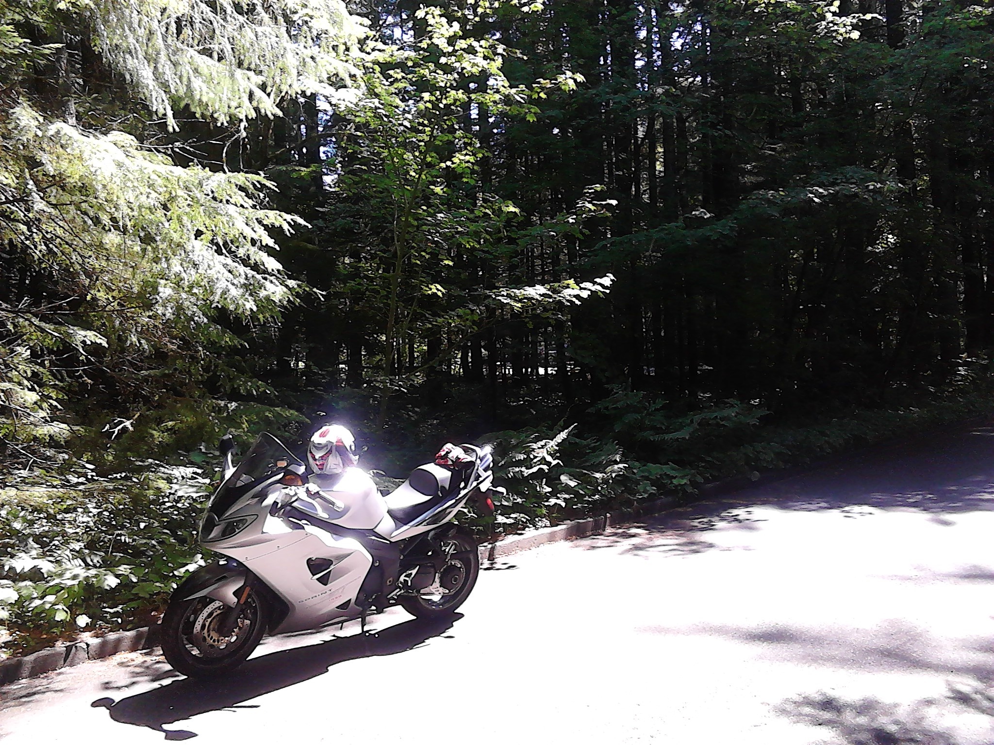
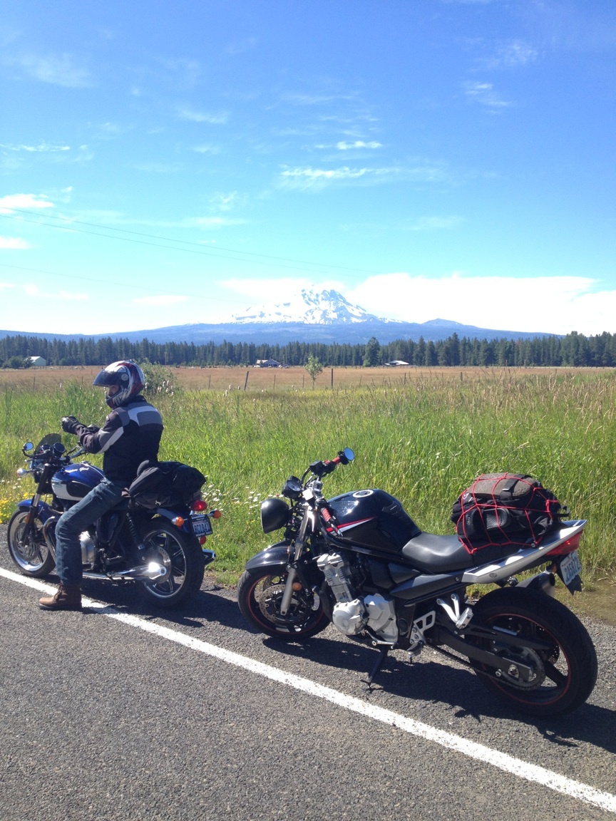
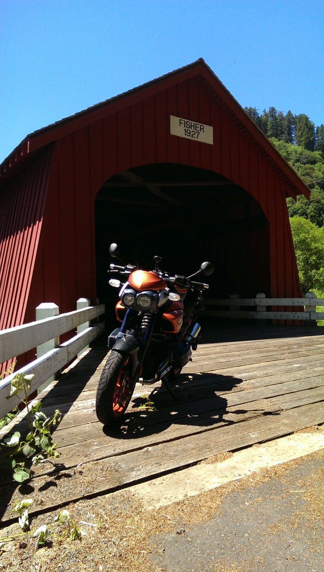
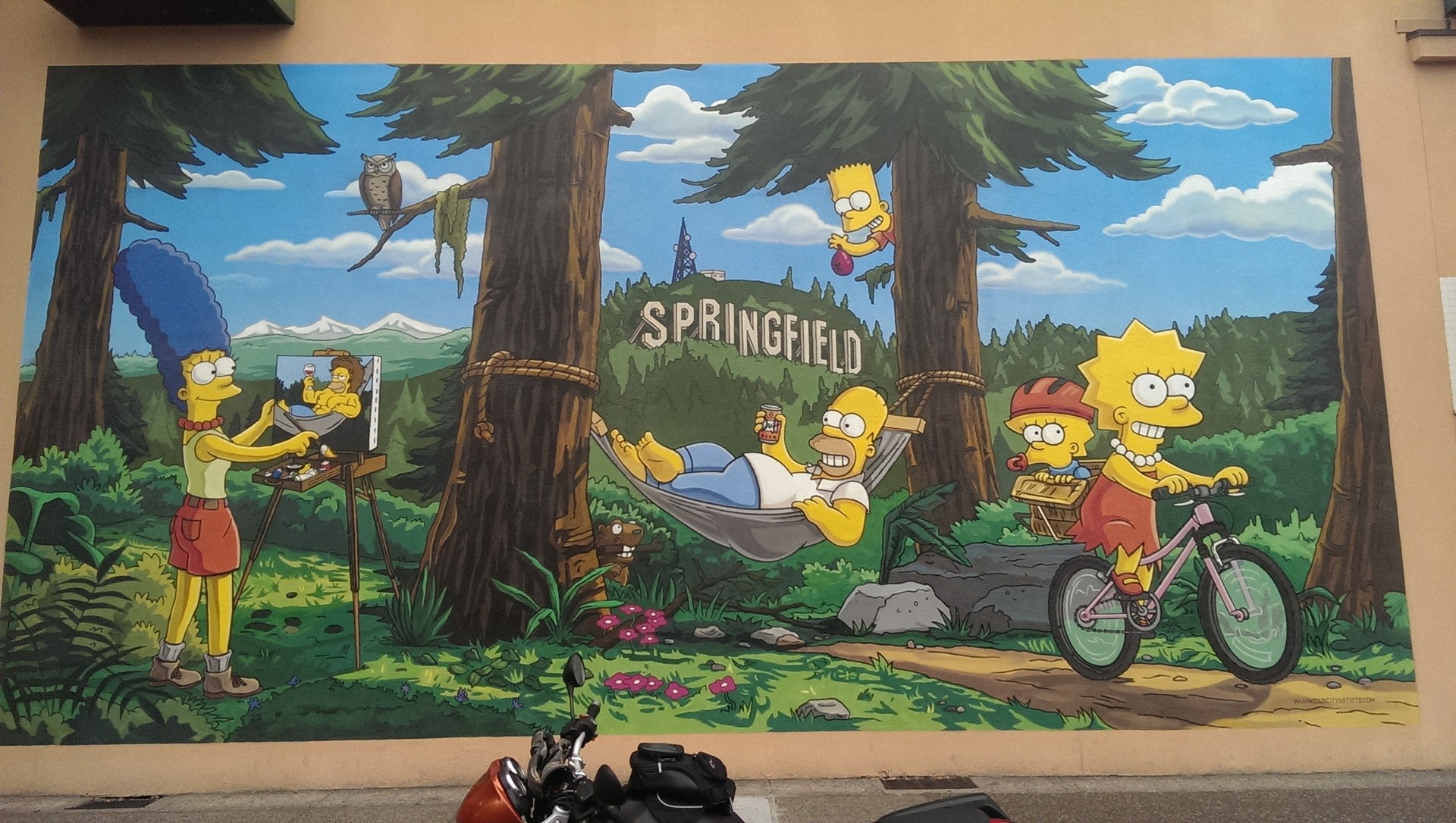
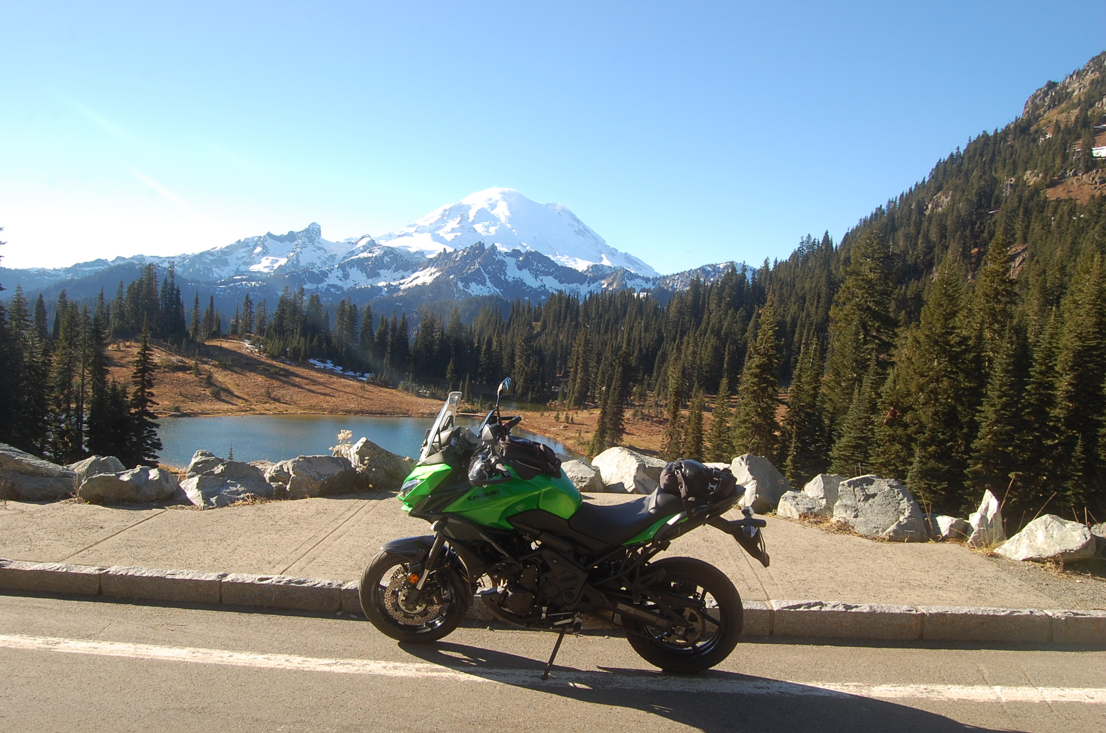
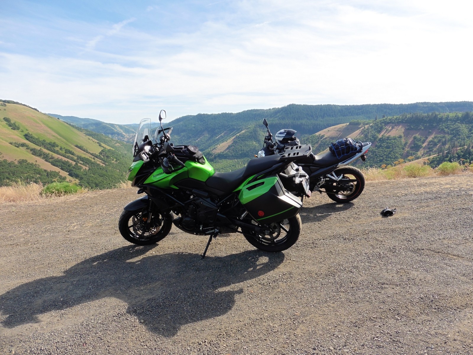
The main mediums are video as I ride my motorcycle and show you the scenic beauty of Washington State (and maybe some others .) but also photos and route maps as well so members can find inspiration and explore new areas.
And because this is a community, I want members to share your favorite topics and photos with me and others as well.
YOU’VE BOUGHT THE WRONG BIKE
Recently a commenter on my Motorcycle History Video ( brought up the idea of having the wrong bike and pursuing the right one (over simplified summary.) This got me thinking about whether I feel that any of the bikes I bought were “wrong/incorrect” and then what does that even mean?
You’ve bought the wrong bike or you have the wrong bike.
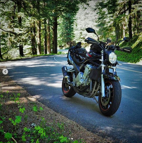
We’ve probably heard that and thought that on multiple occasions at different times. You’re stuck blasting up a freeway in high winds on a bike with no fairing or find yourself in rougher road conditions than your poorly suspended bike can handle comfortably. Your ass hurts, your knees hurt, your back hurts and you’ve still got three hours of riding.
Of course those things come and go and add spice to the memory of that ride. In fact, there is a good chance you can barely remember many of the rides where everything is good and perfect compared to the one where something went wrong, got out of hand or otherwise ...
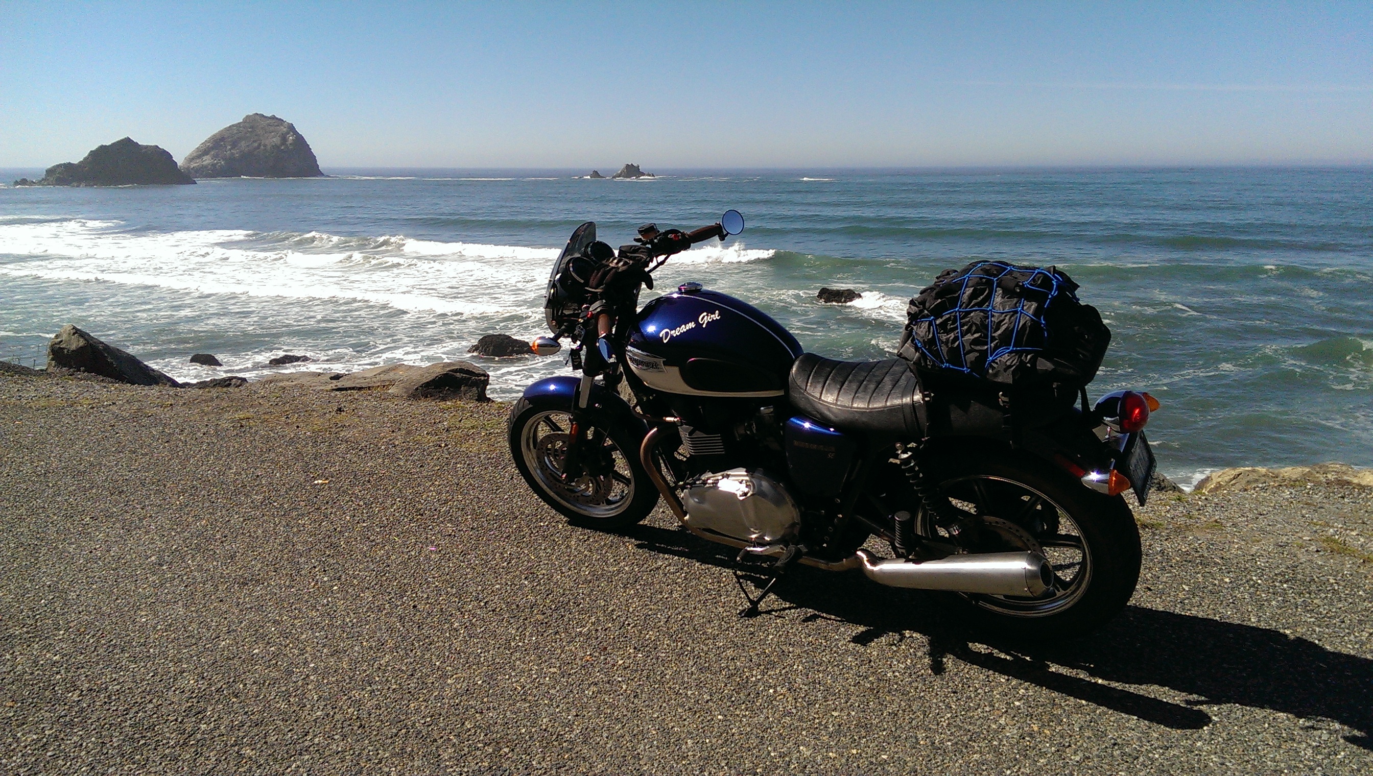
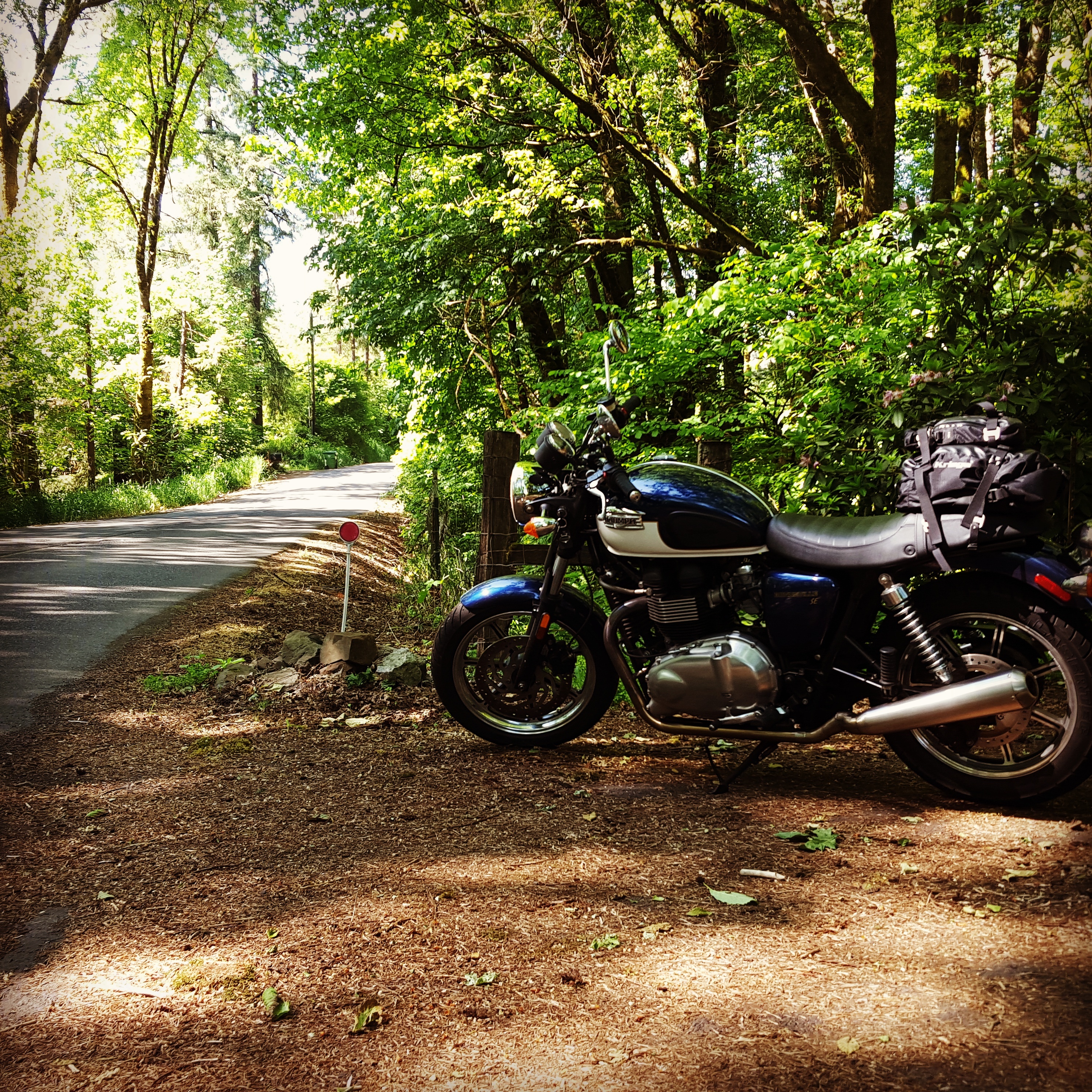
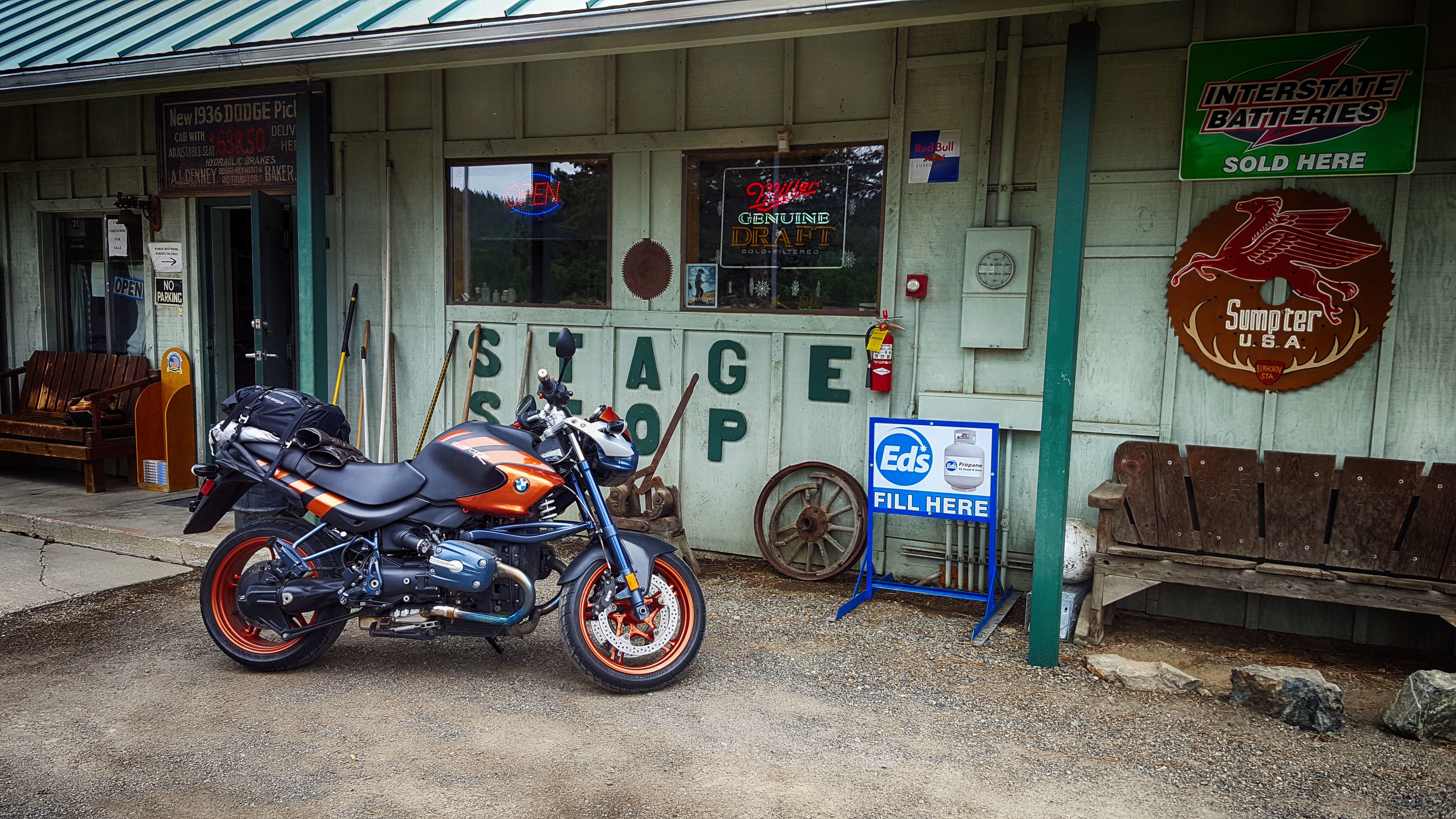
In this video I go through my mods (updated from the older vid) and also show the bag setup.
MIRRORS: Doubletake
https://www.doubletakemirror.com/
CRASH BARS: DirtRacks
https://www.dirtracks.com/collections/klr650
BASH PLATE: Enduro Engineering
https://www.amazon.com/gp/product/B07GL6YPRZ/ref=ppx_yo_dt_b_search_asin_title?ie=UTF8&psc=1
BASH PLATE EXTENDER: Enduro Engineering
https://www.amazon.com/gp/product/B07HF4K3ZP/ref=ppx_yo_dt_b_search_asin_title?ie=UTF8&psc=1
PHONE HOLDER:
https://www.amazon.com/gp/product/B085DMV7XD/ref=ppx_yo_dt_b_search_asin_title?ie=UTF8&psc=1
TRUNK: Chase Harper
...
I get asked regularly how I plan my routes and which apps I use.
PLANNING
I research using Google Maps and the USDA Forest Road Website (https://www.fs.usda.gov/ivm/)
Once I feel like I have a plan, I create my routes using (MyMaps.Google.com) which allows adding points and connecting them.
I then export the created map as KML
APPS
I mainly use Maps.Me as it supports importing the KML created. Be aware the actual map it uses is often slightly different from what Google has.
I also use the USDA Forest Map app as a backup. It's a good way to know how long and how rough forest roads are , but ALSO if it's open all winter of not (Snow notwithstanding) I've had a couple rides that Google allowed me to map, but turned out to be Closed (no longer used/accessible) so I'm starting to reference the forest app and website more to double check.
The third App is Avenza. For me it's only used with Geo Referenced PDFs. The main one for me is the Capital Forest.