
The main mediums are video as I ride my motorcycle and show you the scenic beauty of Washington State (and maybe some others .) but also photos and route maps as well so members can find inspiration and explore new areas.
And because this is a community, I want members to share your favorite topics and photos with me and others as well.
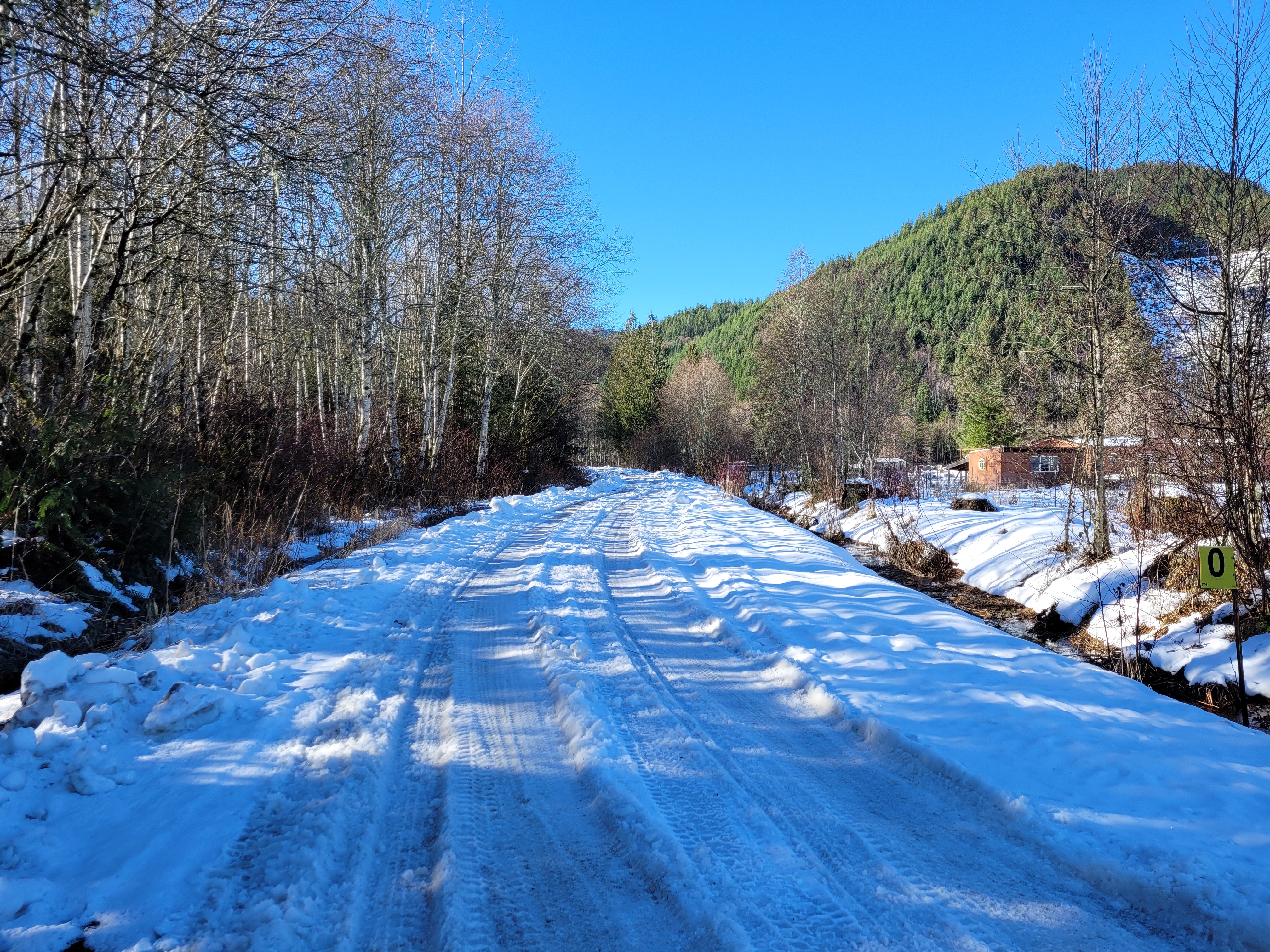
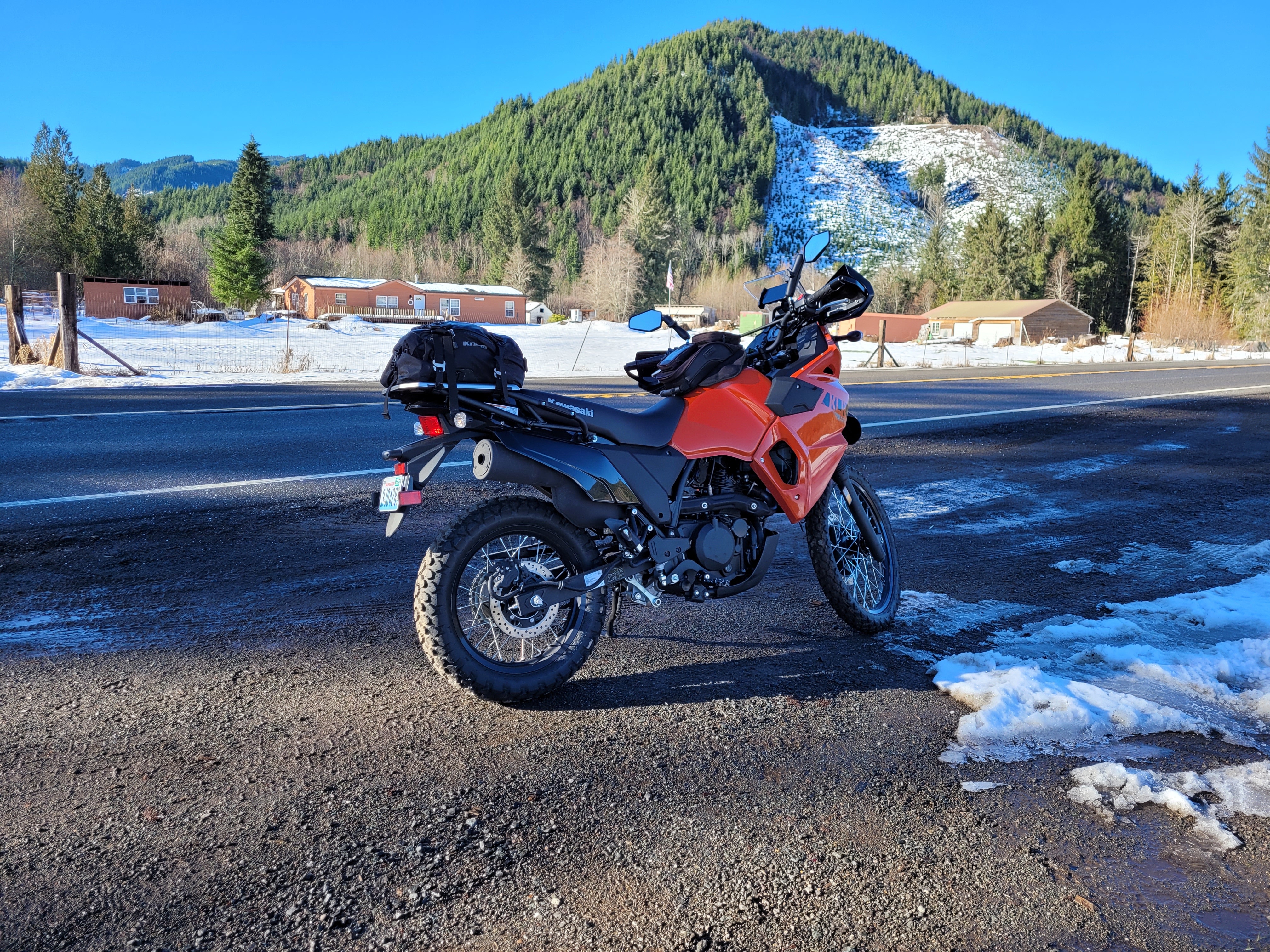
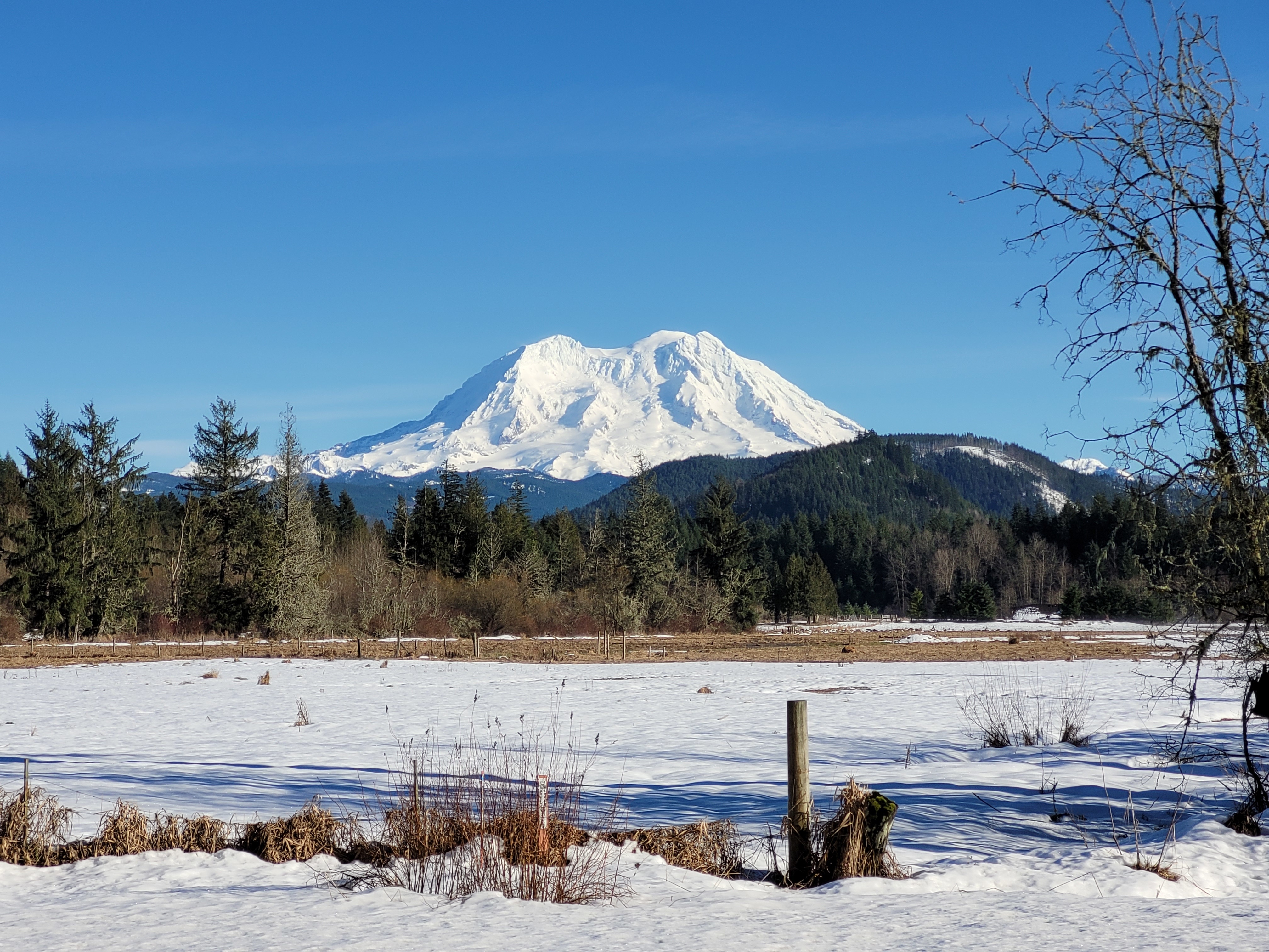
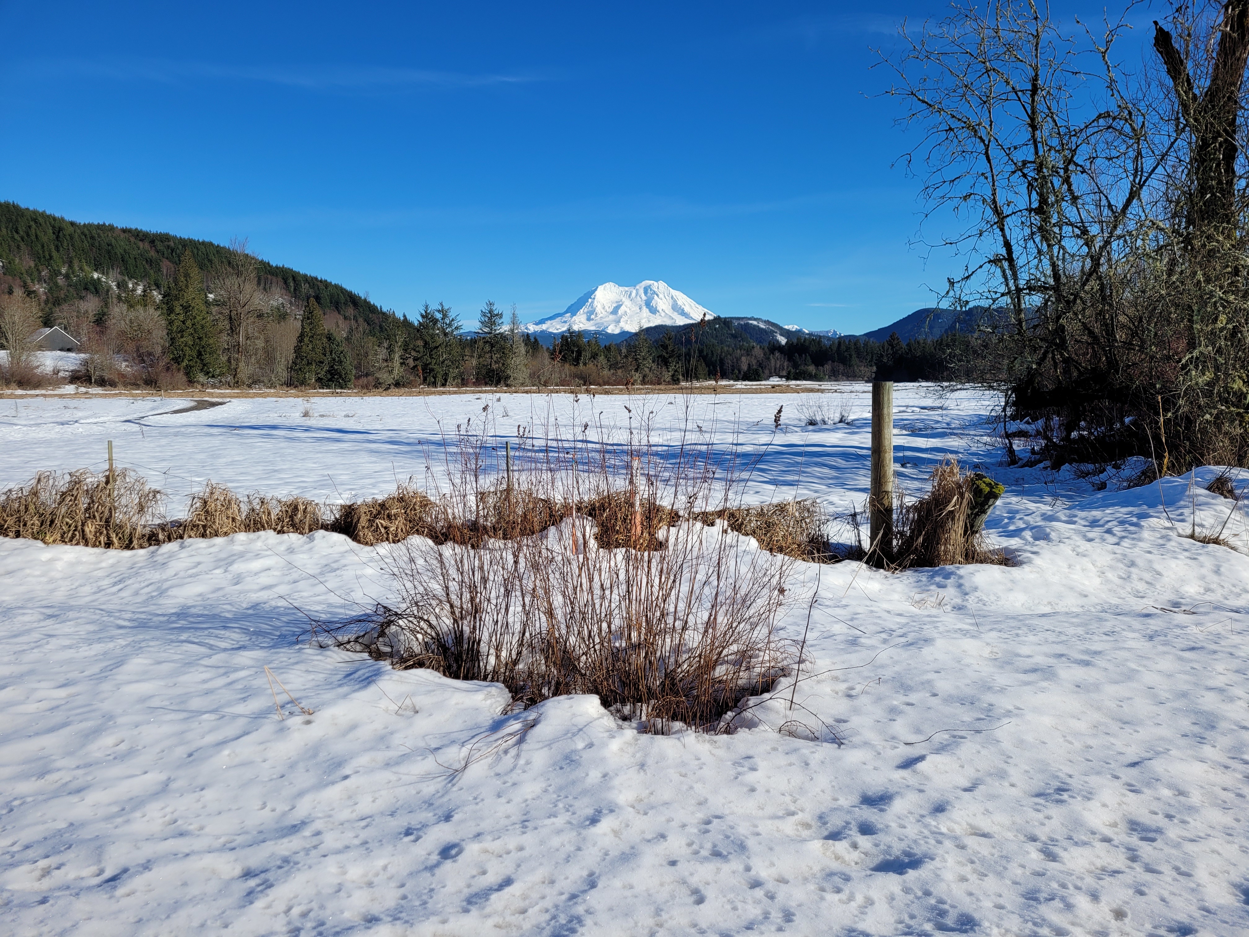
I got out for a ride today! Started out 37 Degrees American which I think was too cold for my camera. I got some footage but the camera would not record from the external mic. It's like it didn't switch so it was trying to record via the hole in the camera (basically just wind noise.)
I tried to go to Forest Rd 74 but as you can see, it's all snow covered so that's a no.
I chatted about:
-The Handguard Hack which turned out pretty good. Cold but not freezing. No wind on my hands, but ambient temp is still an issue. Heated grips would be great for rides longer than a couple hours.
-The Pegs: they didn't' fall off so that's a win. Will need WAY more time with them to have anything to say.
-2022 Plans including video series ideas I have:
--Tourist/Historical Places around Washington
--Book Reviews
--The Brand new BMTRV.Locals.com community (Think Patreon mixed with Facebook.)
I'll do a office based video to cover those details here in the next couple days.
In this video I go through my mods (updated from the older vid) and also show the bag setup.
MIRRORS: Doubletake
https://www.doubletakemirror.com/
CRASH BARS: DirtRacks
https://www.dirtracks.com/collections/klr650
BASH PLATE: Enduro Engineering
https://www.amazon.com/gp/product/B07GL6YPRZ/ref=ppx_yo_dt_b_search_asin_title?ie=UTF8&psc=1
BASH PLATE EXTENDER: Enduro Engineering
https://www.amazon.com/gp/product/B07HF4K3ZP/ref=ppx_yo_dt_b_search_asin_title?ie=UTF8&psc=1
PHONE HOLDER:
https://www.amazon.com/gp/product/B085DMV7XD/ref=ppx_yo_dt_b_search_asin_title?ie=UTF8&psc=1
TRUNK: Chase Harper
...
I get asked regularly how I plan my routes and which apps I use.
PLANNING
I research using Google Maps and the USDA Forest Road Website (https://www.fs.usda.gov/ivm/)
Once I feel like I have a plan, I create my routes using (MyMaps.Google.com) which allows adding points and connecting them.
I then export the created map as KML
APPS
I mainly use Maps.Me as it supports importing the KML created. Be aware the actual map it uses is often slightly different from what Google has.
I also use the USDA Forest Map app as a backup. It's a good way to know how long and how rough forest roads are , but ALSO if it's open all winter of not (Snow notwithstanding) I've had a couple rides that Google allowed me to map, but turned out to be Closed (no longer used/accessible) so I'm starting to reference the forest app and website more to double check.
The third App is Avenza. For me it's only used with Geo Referenced PDFs. The main one for me is the Capital Forest.